
By Craig Wheeler
Fri Jun 20 2025
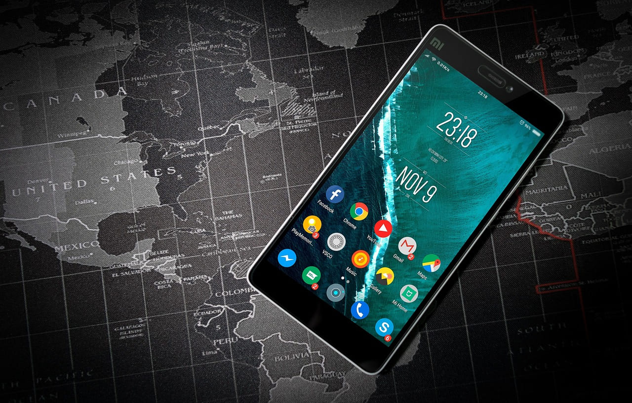
Best Boat Launch Apps for Android (2025 Review)
Boating Apps Are Changing the Game
Boating’s come a long way in the last few years. We’re not just checking the tides or weather anymore, we’re planning whole trips from our phones. But if there’s one step that still catches people off guard, it’s the launch itself.
Anyone who’s backed a trailer down a narrow ramp on a busy Saturday knows it can get stressful fast. The right app can make or break your day on the water. That’s why boat launch apps have become essential not just for pro anglers or big cruisers, but for weekend kayakers and first time boat owners too.
We spent time digging through the top apps in 2025 to find the ones that actually help, not just clutter your phone. Here’s what stood out starting with the app that does one thing really well.
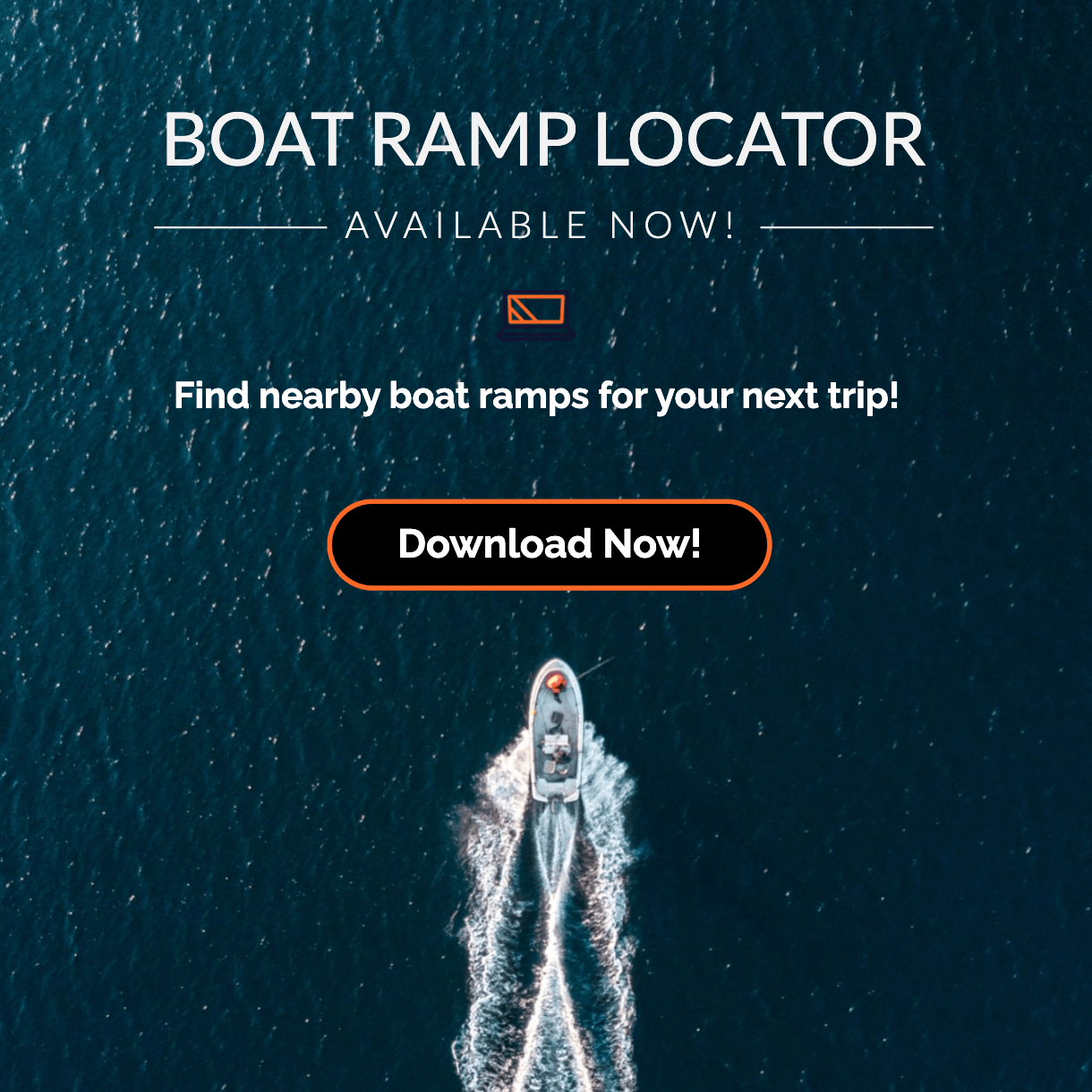
BoatRampLocator.com: Boat Launch App for Android
If you’re looking for the best boat launch app in 2025, look no further than BoatRampLocator.com. Built specifically for Android users, this user friendly app is designed to help you find the perfect boat ramp for your next trip, whether you’re towing a bass boat, paddleboarding at a lake, or launching a kayak into the mangroves.
What Makes BoatRampLocator.com Stand Out in 2025
Unlike many generic boating apps, BoatRampLocator.com focuses exclusively on boat ramp locations and information. Its interface is streamlined and intuitive, making it easy to locate launch sites based on your specific preferences and watercraft type. The app was developed with a singular mission: to provide a reliable, curated ramp finding experience that works as seamlessly in a city marina as it does in a remote backwater.
Key Features
-
Extensive Database
From well known marina ramps to secluded hand launch sites, BoatRampLocator.com offers a wide ranging, meticulously curated ramp database. Whether you’re looking for access to freshwater, saltwater, or tidal zones, the app delivers up to date data for a variety of users. -
Enhanced Search Filters
Filter results based on your exact needs—hand launch only sites, 24 hour access points, saltwater vs freshwater locations, and more. It’s never been easier to find a ramp that suits your outing. -
Fullscreen & Satellite Views
Get a bird’s eye view of the ramp before you even leave your driveway. The app offers both standard and satellite map views to help you better understand the terrain, parking options, and surroundings. -
Detailed Facility Information
Each ramp listing comes with valuable details such as surface type, available facilities, parking availability, and potential access restrictions. This minimizes surprises and helps you plan smarter trips. -
Favorite Ramp Saving
You can now save your go to ramps for quick access during future trips. This time saving feature is ideal for frequent boaters who visit the same locations regularly.
Pros and Cons
Pros:
- Android optimized performance
- Clean, intuitive interface
- Curated, accurate ramp data
- Custom search filtering options
- Free to use with a low cost ad free upgrade
Cons:
- Currently requires an internet connection for full functionality
- Lacks user generated reviews or ratings (planned future feature)
Pricing and Availability
The app is available for free on the Google Play Store, supported by ads. Users can opt for a one time upgrade that removes ads and unlocks the ability to save favorite ramps—no subscription required.
User Ratings and Community Feedback
Although relatively new compared to some competitors, early feedback from the boating community is overwhelmingly positive. Users have praised the app’s clean design, comprehensive ramp coverage, and the precision of its search filters. With ongoing updates and a commitment to expanding features, BoatRampLocator.com is positioning itself as the most reliable boat launch app available today.
Navionics Boating App
Navionics has long been a trusted name in marine navigation, and their mobile boating app is no exception. While not solely a boat launch locator, it offers detailed nautical charts, marina data, and local waterway information that make it a strong contender for boaters looking for a versatile tool.
Overview and Strengths
Navionics excels in providing topographical marine maps, sonar charts, and autorouting features. While the app’s core audience includes offshore cruisers and serious anglers, casual users can also benefit from its rich mapping ecosystem.
Boat Launch Capabilities
Though the app does not specialize in ramp listings, it includes marina locations and public launch sites as part of its points of interest database. If you’re already using Navionics for navigation, you can often locate launch spots using the map’s search function or by browsing local ports and harbors.
Mapping and Marine Charts
Navionics is unmatched in its map detail. The app includes:
- SonarChart live mapping
- Depth contours and tide data
- Real time weather overlays
These features are especially helpful for planning routes immediately after launching, ensuring you’re never caught unaware by shifting tides or underwater hazards.
Integration with GPS and Sonar Devices
The Navionics app supports integration with select GPS plotters and sonar systems, including Raymarine and Garmin units. This makes it an ideal secondary app for boaters who need both ramp data and high-end navigation support.
Fishbrain – Social Fishing Meets Ramp Discovery
Fishbrain is widely known as a social platform for anglers, but what many users don’t realize is that it also doubles as a handy boat launch app especially for fishing focused boaters. With over 15 million users, Fishbrain provides a massive, crowdsourced knowledge base for discovering not just fishing hotspots but also practical launch locations.
Fishing Meets Boating
Fishbrain combines user generated fishing data with access information, helping users determine where to both catch fish and safely get on the water. While the app doesn’t advertise itself as a primary ramp locator, the community often shares details on nearby ramps in catch reports and fishing logs.
Community Ramp Tips
Many boaters find Fishbrain particularly useful because of its peer driven tips. If you’re heading to a new lake or river, chances are someone has logged a fishing trip nearby and included ramp information, parking tips, or access routes.
Ramp Search Filters
Fishbrain’s interface lets you narrow down areas by species, location, or even water temperature. While these aren’t ramp specific filters, they can help you identify the best access points for particular types of fishing especially in less charted areas.
Pros:
- Massive community of anglers
- Fishing specific insights tied to locations
- Free version available with premium upgrades
Cons:
- Not purpose built for ramps
- Data may be inconsistent or incomplete
- Requires navigating through fishing features to find launch info
BoatUS App – Boating Assistance with Ramp Features
The BoatUS App is a trusted companion for recreational boaters and a lifesaver in emergencies. Created by the Boat Owners Association of The United States, this app offers towing, marine weather, and service directories plus a helpful ramp finder.
Boat Launch Assistance and Services
BoatUS allows users to locate ramp sites, repair shops, marinas, and even fueling stations. While its ramp database is smaller than niche apps like BoatRampLocator.com, it provides verified data, especially near major boating hubs.
Additional Marine Services
Where BoatUS really shines is in its on water assistance. Membership includes towing services, boat insurance access, and discounts at various marine related businesses. This makes it more than just a launch finder it’s a comprehensive support tool.
Membership Benefits
The free version offers limited access, but for premium features (like towing), users must be BoatUS members. Still, the ramp finder and marine directory are included for all.
Pros:
- All in one boating support app
- Includes ramp locations with verified data
- Great for long distance or coastal boaters
Cons:
- Not ramp focused and limited advanced filters
- Some features locked behind membership
i-Boating – Marine GPS & Nautical Charts with Ramp Data
i-Boating is a serious tool for serious boaters. Offering marine GPS, depth contours, and detailed charts, this app serves as both a navigation system and a location tool for launch planning. While it’s not exclusively a boat launch app, it includes valuable ramp information layered into its maps.
Global Nautical Coverage
i-Boating shines with its international chart support. Whether you’re boating in the U.S., Canada, Europe, or Asia, this app helps locate public access points, harbors, and ramps even in remote areas.
Launch Finder and Marina Access
Through its map interface, users can spot icons for ramps, marinas, and other boat-access facilities. Although not searchable by specific ramp types, the visual interface makes it easy to explore your launch options.
Tidal and Depth Data
This is a favorite among offshore and coastal users thanks to:
- NOAA and other chart overlays
- Real time tidal data
- Speed and course tracking These features are crucial for planning your launch according to tides and water depths.
Pros:
- Detailed navigation maps
- Supports offline use (with pre download)
- International ramp coverage
Cons:
- UI less intuitive than other apps
- Boat ramp search isn’t a central feature
OnWater App – Simplified Boat Ramp Discovery
The OnWater App is a newer entrant focused on streamlining the boating experience. While its feature set is less robust than some others on this list, it offers a lightweight, clean interface that emphasizes simplicity perfect for users who want quick access to nearby launch sites.
Focus on Simplicity and Ramp Discovery
OnWater trims the fat, making it ideal for casual weekend boaters or kayakers. It helps users find public water access points, including boat ramps, docks, and water trails.
Visual Ramp Guide and Conditions
The app uses icons and interactive maps to help users understand ramp locations at a glance. While the data may not be as in depth as BoatRampLocator.com, it is accurate and useful for quick trip planning.
Pros:
- Minimalist design, easy for beginners
- Quickly identifies nearby ramps and water access points
- Lightweight app with fast loading times
Cons:
- Limited advanced features
- Smaller ramp database than niche apps
Regrid Property App – Public Access Through Parcel Data
While not a traditional boat launch app, Regrid is a powerful tool for verifying land ownership and public access particularly helpful for paddlers and adventurers who launch in lesser known areas.
Ramp Legality & Public Access via Land Ownership Data
If you’re unsure whether a ramp or shoreline is public or private, Regrid can help. It overlays parcel boundaries, zoning info, and ownership data, so you can confirm whether a location is legal to use.
This is especially useful when exploring small, unmarked access points like creeks, riverbanks, or hidden estuaries.
Pros:
- Great for off grid and DIY boaters
- Helps avoid trespassing issues
- Expands possibilities beyond formal launch ramps
Cons:
- Not designed for boating
- Requires interpretation of property data
- No map filtering for water access
Google Maps – The Surprisingly Useful Classic
Sometimes, the best tool is the one you already have. While Google Maps isn’t marketed as a boat launch app, it remains a reliable fallback, especially in well documented or urbanized regions.
How to Find Boat Ramps with Google Maps in 2025
Using keyword searches like “boat ramp near me,” “public boat launch,” or even “kayak access,” you can often locate launch sites quickly. Satellite view and street view offer a solid preview of the site layout.
User Tips for Manual Ramp Discovery
- Use satellite view to spot docks and ramps not listed on other apps.
- Read Google reviews for clues about site conditions, parking, and crowds.
- Save locations for offline access during low signal trips.
Pros:
- Widely available and familiar
- Excellent satellite and terrain view
- User contributed photos and reviews
Cons:
- No boating specific filters or data
- Ramp information can be outdated or vague
Key Features to Look for in a Boat Launch App
Not all boat launch apps are created equal. When evaluating which one to download, it’s important to understand what separates the best from the rest. Here are the most critical features to consider:
Real Time Mapping and GPS Accuracy
Precise location tracking is crucial when you’re navigating toward a launch especially in unfamiliar territory. The best apps use real time GPS integration to ensure you can find your destination without getting lost.
Community and Crowdsourced Data
Apps that integrate community input, such as reviews, photos, and ramp condition reports, tend to offer more accurate and up to date information. This data can help you avoid unusable ramps or learn about features like parking fees and nearby amenities.
Offline Capability
For boaters who travel to remote or backcountry launch sites, offline functionality is essential. Some apps allow users to download maps and ramp data for use without an internet connection though BoatRampLocator.com is still working on this feature.
Water Body and Environmental Data
Apps that integrate water specific details such as tide charts, weather, or depth readings provide added value. This is especially important for saltwater or tidal area users who must time their launches carefully.
How BoatRampLocator.com Sets the Gold Standard
While there are many competent apps on the market, BoatRampLocator.com continues to stand out as the most focused, efficient, and user friendly option for finding boat launch sites on Android in 2025.
Advanced Search Filters
Its refined search system allows you to pinpoint exactly the kind of ramp you need, filtering by:
- Saltwater vs freshwater
- Hand launch vs trailer ramps
- 24 hour access
- Public vs private access
These targeted filters save time and increase confidence when planning your trip.
Local Regulation Alerts
While not currently active, BoatRampLocator.com is planning future features that may include alerts for local rules and closures. This proactive approach demonstrates the app’s commitment to continuous improvement.
Real User Verification System (Planned Feature)
Upcoming versions of the app aim to introduce community feedback tools allowing users to verify ramp conditions, report updates, and share their launch experiences.
Multi Layered Maps
Fullscreen and satellite view options let users explore ramps visually before visiting. This added perspective is particularly helpful for identifying nearby hazards, parking lots, and dock access points.
Final Verdict: Choosing the Best Boat Launch App for Your Needs
There’s no one size fits all solution when it comes to boating apps. Each app has its strengths, and the right choice depends on your individual needs, watercraft type, and destination.
Casual Boaters vs Anglers vs Long Distance Navigators
- Casual Boaters: Prefer simplicity and fast results. Apps like BoatRampLocator.com and OnWater are ideal.
- Anglers: May want ramp data tied to fishing insights. Fishbrain and i-Boating excel here.
- Distance Navigators: Need marine charts and navigation tools. Navionics or i-Boating are top tier for them.
Why BoatRampLocator.com Is the Most Versatile Choice
Despite being purpose built around boat ramps, BoatRampLocator.com offers broad appeal:
- It supports various watercraft, from kayaks to powerboats.
- Its refined filtering and visual mapping make it the most accessible and intuitive option available on Android.
As it continues to evolve with user driven features and offline capabilities on the horizon, BoatRampLocator.com sets the benchmark for what a modern boat launch app should be.
Finding the perfect boat ramp doesn’t have to involve trial and error. In 2025, Android users have access to powerful, specialized tools that take the guesswork out of planning water outings.
Whether you’re prepping for a fishing trip, a family day on the lake, or a solo paddle in new territory, the right boat launch app can make all the difference.
Start with the best: BoatRampLocator.com
Available now on the Google Play Store
FAQs
1. What is the most accurate boat launch app for Android?
BoatRampLocator.com stands out in 2025 for its curated, accurate data and refined search tools. It’s specifically built to locate boat ramps quickly and efficiently.
2. Are boat launch apps useful for kayak and canoe users?
Absolutely. Many apps allow filtering by hand launch or paddle only sites, making them ideal for kayakers and canoeists.
3. Do boat launch apps show ramp fees and parking info?
Some apps, like BoatRampLocator.com and BoatUS, provide limited fee and amenity data. However, users should always confirm with local authorities when possible.
4. How does BoatRampLocator.com compare to Navionics?
While Navionics is better for marine navigation, BoatRampLocator.com is more focused and user friendly for discovering launch sites, especially for local or inland waters.
Looking for boat ramps near you? Use our free app to find launch locations with facility info and directions. Save your favorite boat ramps for quick access anytime. Download Boat Ramp Locator on Google Play.
Join our newsletter!
Enter your email to receive our latest newsletter.
Don't worry, we don't spam
Related Articles
-
 Sat Jul 19 2025
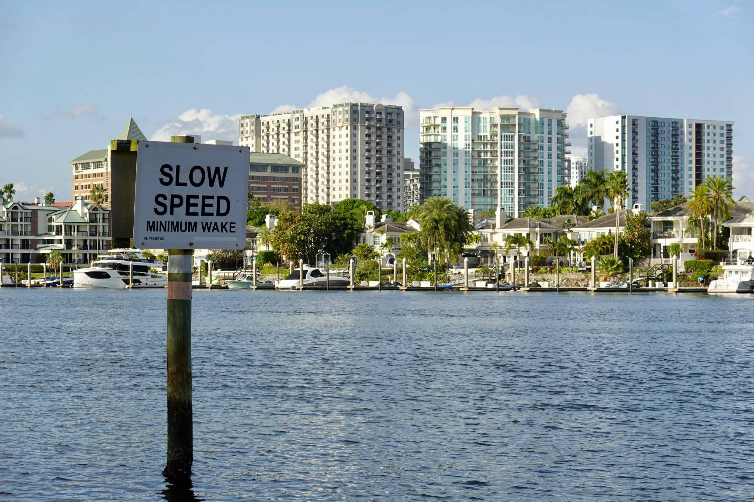
Guide to Boat Ramps in Tampa Bay
Tampa Bay has no shortage of accessible boat ramps, and many of them are open around the clock.
-
 Sat Jul 12 2025
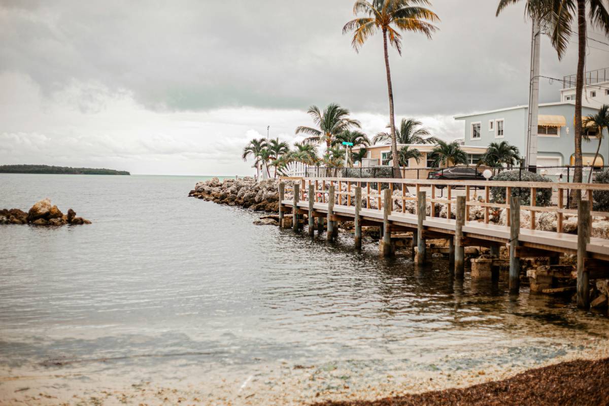
Top 10 Hotels With Boat Docks in the Florida Keys
Finding a hotel that also offers boat docking can turn a good trip into an unforgettable seafaring a
-
 Wed Jul 09 2025
How to choose the best boat ramp on the Suwannee River for your boat size.
The Suwannee River is a legendary waterway in North Florida, winding through cypress forests, limest